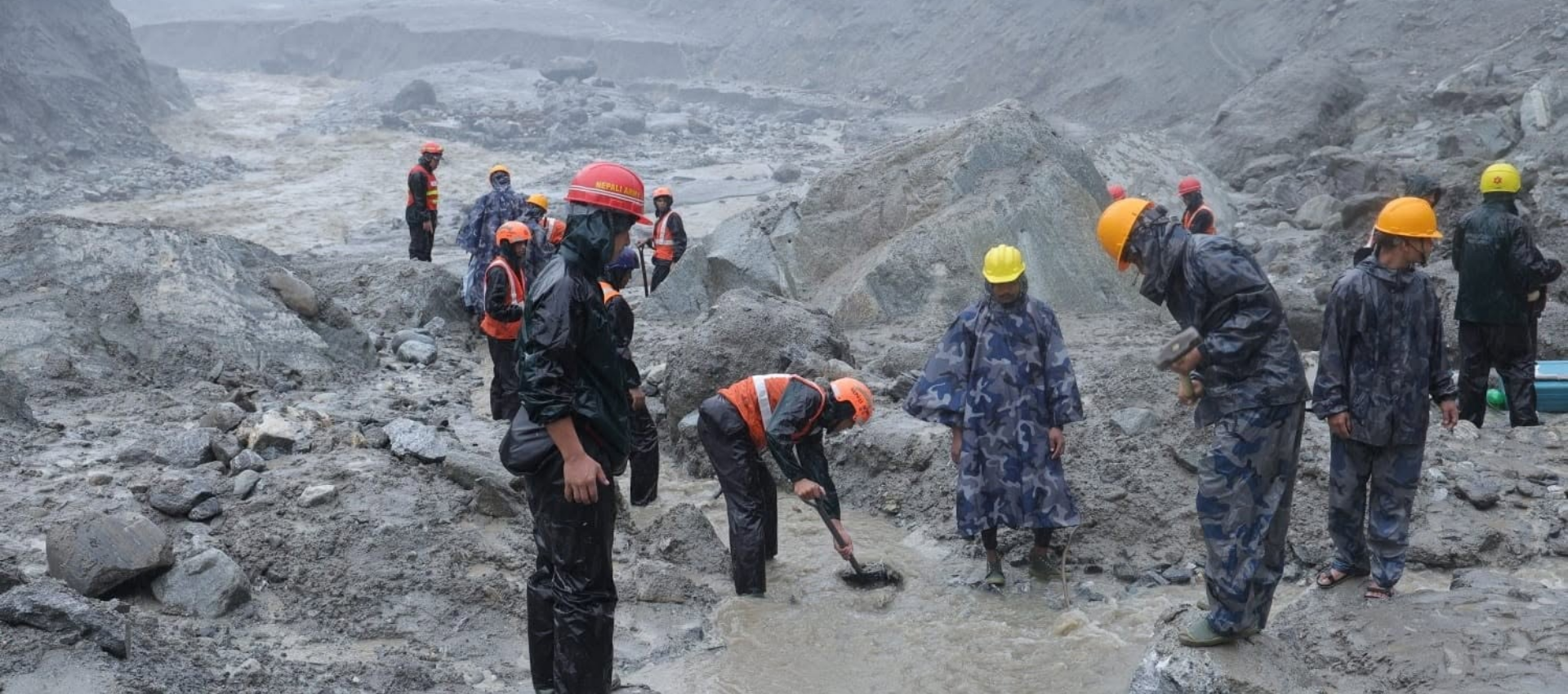
On August 26, a devastating flood was triggered by a massive ice-rock avalanche in the Himalayas that led to mass casualties in Nepal. Over 1,300 people have been reportedly killed and more than 5000 are still missing. This disaster acts as a warning about the intensities of hazards in the cryosphere (the frozen water part of the earth system) of high-mountain Asia.
Asian Dispatch’s Rifat MohiUdDin spoke to Dr. Irfan Rashid, associate professor and head of department of geoinformatics, University of Kashmir, to understand what happened in Nepal and how the governments in South Asia can be better prepared for such situations.
The interview has been edited for brevity. Here are the excerpts:
Q. What happened in Nepal and what have you studied about other countries in the Himalayan region through satellite images?
What happened in Nepal was not a glacial lake outburst flood (GLOF). It was what scientists typically call a rock-ice avalanche. So, we have mapped a lot of glacial lakes in the Himalayan region, including Kashmir in India. We have come up with the categorisation of potentially dangerous lakes under which we have mentioned that five lakes in the Kashmir region are highly susceptible to GLOF.
Susceptibility doesn’t mean that the lakes would immediately burst, it means that if certain specific conditions were to occur, there is a probability these lakes might experience a GLOF.
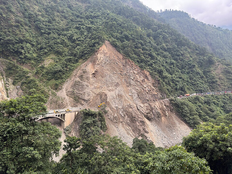
For example – if a rock or snow avalanche or landslide were to fall into Chirsar lake (Jammu and Kashmir), it could generate a tsunami-like wave that damages the moraine. Other factors include heavy precipitation, the presence of permafrost (ground that remains completely frozen for at least two straight years) underwater around these lakes, the stability of the slope, and the strength of the moraine.
These events need to be looked at from different perspectives, GLOFs cannot be equated with rock-ice avalanches. But as far as Nepal is concerned, it is a typical rock-ice avalanche event triggered by probably weakening of the bedrock. Himalayan regions have experienced this in the past as well but this was much bigger.
Q. The Indus, Brahmaputra, and Mekong originate upstream of international boundaries. How does the risk compound for downstream communities in South Asia after a glacier collapses?
Most of these cryosphere-related disasters, such as the 2021 Chamoli rock-ice avalanche, and now Nepal, have had transboundary impacts. These are very high-velocity events, which do not give any warnings to the downstream communities.
If you construct within 50 or 100 metres of the river bank, there is a high possibility that you are more prone to high magnitude events. But if you are located 250 metres away, there’s a higher probability that lives and the infrastructure will be saved from such a disaster.
Q. What does satellite monitoring reveal about how close critical infrastructure sits to potential flood paths?
It is not rocket science to use satellite data or need an expertise in earth and environmental sciences to know that you are constructing a settlement in an area with high vulnerability to high-magnitude floods.
People can easily demarcate these river corridors and governments in high-mountain Asian countries such as China, India, Nepal, Bhutan, Afghanistan, or Pakistan can create buffer zones around these stream corridors.
Q. How does permafrost loss destabilise steep slopes and can satellite radar detect hidden movements before a slope gives way?
Yes, satellites can provide basic information about the deformation happening in the landscape. With the help of interferometric SAR, scientists can trace millimeter-scale perturbations in the landscape.
If an area is experiencing some destabilisation, and if governments develop a proper mechanism where earth-observation data gets analysed at regular intervals, then they can get credible evidence of where landscapes are changing.
Q. How much damage is being caused by human choices compared to the baseline climate signal?
If you look at urbanisation trends across any Himalayan landscape, such as western Himalayas, Bhutan, or Nepal, you will see the amount of urbanisation that has happened over the years. And most of this urbanisation is along these river corridors. This exposes a large chunk of the population to cryosphere-related hazards that come with very short response times.
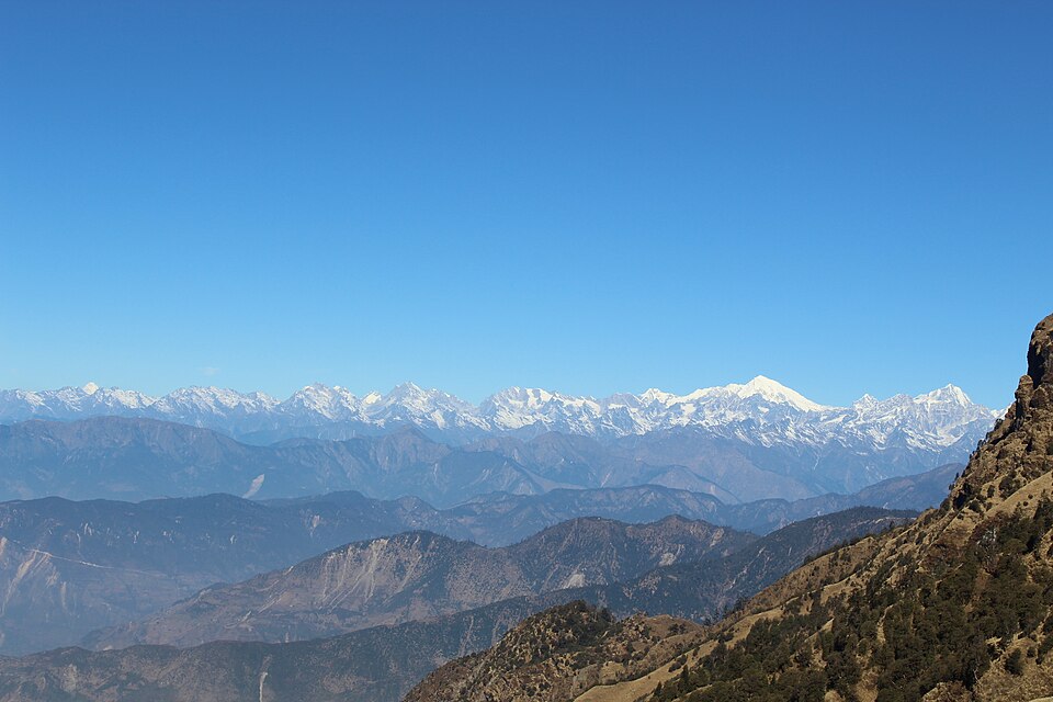
But if there’s a proper eco-zonation plan, where zones are divided into highly fragile, medium fragile, and low fragile categories, governments can limit the incursion of population and infrastructure into such areas. That’s the first step governments in these countries need to take.
Q: Do policymakers in Asia need to move from post-disaster response to pre-emptive policy?
It will need a lot of determination from all these South Asian governments. They will need to:
- Relocate a large chunk of population from fragile river corridors
- Put in a lot of effort, planning, and finances
- Collaboration among policymakers, politicians, and bureaucrats
We cannot remove existing settlements, but we should follow eco-zonation plans for all new infrastructure to be constructed. We need to think along those lines about how these risks can be mitigated, and the best approach is to avoid these stream corridors.
Q. Is scientific hazard data still not systematically reaching town planners and infrastructure agencies?
There is no or a very weak science-policy-society interface. What happens is that the papers we publish in universities, as part of the scientific work we are passionate about, hardly get heard.
A recent paper that was published by our group on glacial outburst floods and papers published by other groups at the IITs on the larger Himalayan arc are being noticed by the people in government.
As I said, it needs vision. It needs a two or three-decade vision, where these policies can really be converted and translated for the benefit of society.
On that front, I feel we are still lacking whether it’s India, Nepal, or other South Asian nations. We still have a long way to go in terms of informed science taking over, or informing, policymaking, and infrastructure planning.
Q: If the Nepal disaster is a systemic warning, what is the single most important change policymakers in Asia should implement immediately?
There are short-term as well as long-term plans, and there’s ample literature already available to policymakers. I don’t know why this isn’t moving faster, but events like Nepal, Chamoli, South Lhonak did translate into a wave of attention on social media.
That’s a beginning step. But these measures cannot be implemented overnight. We can explain the chain of processes, but I don’t think it can be solved within a month.
We can analyse an event like Nepal within one or two months, better understand and characterise it, and come up with robust numbers but scientists don’t have a magic wand to come up with solutions overnight. It has to be a long-term vision that can help safeguard mountain communities across High-mountain Asia.