
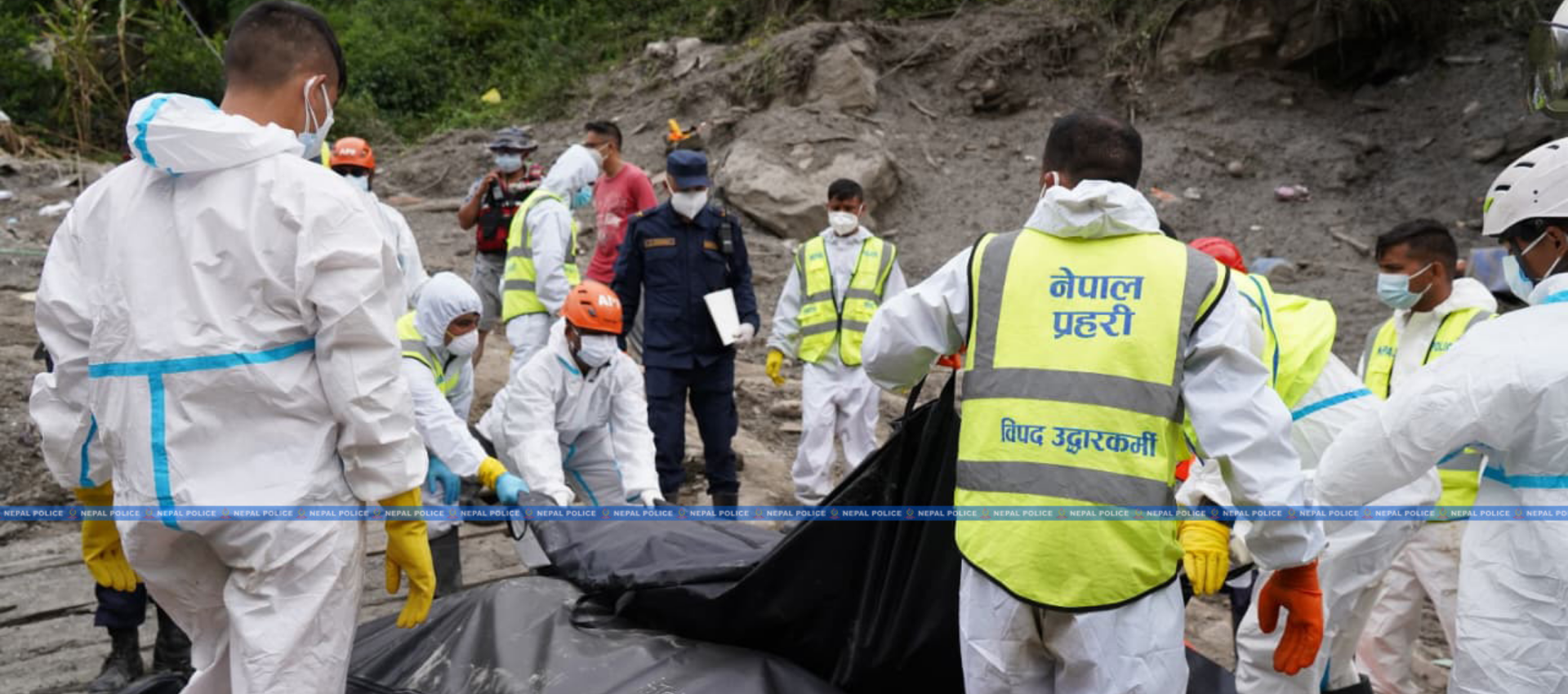
The devastating flood that swept through the Bhotekoshi–Trishuli corridor last Wednesday was triggered by a massive ice-rock avalanche in the high Himalayas, not by conventional rainfall, according to a preliminary study by Nepali scientists.
The study concluded that the disaster was not caused by a glacial lake outburst flood (GLOF). The report, released Sunday, was prepared by a team led by Dr Binod Baniya, with Dr Nitesh Khadka, Dr Amrit Prasad Sharma, Bishnu Maharjan, and Dr Jayaram Karki.
The researchers analysed satellite imagery, hydrological and meteorological data, terrain characteristics, and changes in elevation and slope along the river system.
No Evidence of GLOF
According to the study, the ice-rock mass began falling from the northern part of Langtang–Lirung at around 8:37 a.m. Wednesday. It descended steep terrain from about 5,200 metres before reaching the Lhende River at around 2,930 metres.
Satellite images showed major geographical changes across about 10 square kilometres, while a section of glacier covering approximately 0.56 square kilometres had broken away.
Analysis of Gaofen-1, Sentinel, Landsat and PlanetScope imagery, along with Synthetic Aperture Radar data, found no clear evidence of a glacial lake bursting.
However, experts said further field investigation is needed to establish the precise geological mechanism, the contribution of melting ice and whether the river was temporarily blocked upstream.
22 Kilometres in Seven Minutes
The study found that the ice-rock mass travelled about 22 kilometres to Rasuwagadhi in just over seven minutes, reaching an estimated average speed of 46.3 metres per second, or 167 kilometres per hour.
Its speed fell to around 73 kilometres per hour between Rasuwagadhi and Betrabati and to about 22 kilometres per hour further downstream. Despite slowing, the flow continued carrying huge quantities of rock, sediment, and soil.
The avalanche is estimated to have had a volume of 100 million to 200 million cubic metres, potentially four to eight times larger than the 2021 Chamoli disaster in India.
River Level Fell Before the Flood
The study also found that the river’s level and flow in the Rasuwagadhi and Syafrubesi areas declined several hours before the flood arrived.
At Rasuwagadhi, the average water level fell between 5 a.m. and 8 a.m., while the flow at Syafrubesi began declining around 7 a.m.
Experts said this could indicate a temporary upstream blockage. Further investigation is needed to determine where the blockage occurred, its size and how long water may have been held back.
The study also found no evidence of exceptionally heavy rainfall in the upper watershed that day, weakening the assumption that the disaster was caused solely by extreme rainfall or a cloudburst.
River Widened up To Fourfold
The flood dramatically altered the river’s structure. Sections that had been 100 to 300 metres wide before the disaster expanded to 900 to 1,300 metres afterward.
Two temporary lakes also formed in the upper reaches but had drained by Sunday. Experts said they were not an immediate major threat but required continued monitoring.
NPR 3 Trillion in Estimated Losses
The full human toll remains under verification, while authorities continue efforts to identify the dead and locate those missing.
The disaster also caused extensive damage to hydropower infrastructure. Citing preliminary Nepal Electricity Authority data, the study said 13 hydropower projects and one solar project were affected, taking around 431 MW of generation capacity out of the system.
It reported that 1,098 technical and non-technical employees associated with various projects were missing, while the 220-kV Trishuli–3B substation was completely destroyed. Around 32 suspension bridges from the source area to Dhading were also damaged.
Citing a preliminary government assessment, the study estimated economic losses at around NPR 3 trillion (USD 19.7 billion), although detailed sector-wise assessments are still underway.
Monitoring Must Begin in the Mountains
The study’s central message is that Nepal must move beyond responding to disasters after they occur and develop systems capable of detecting hazards at their source in the high mountains.
Experts recommend real-time monitoring of temperature, snow conditions, glacier movement, water flow and ground movement, using satellites, radar, sensors, Internet of Things technology, and artificial intelligence.
The report also recommends expanding GSM-based warning systems so alerts can quickly reach downstream communities.
More importantly, experts have called for real-time information sharing and a joint monitoring mechanism between Nepal and China for the upper transboundary watershed.
In the Himalayas, the interval between a hazard emerging upstream and reaching downstream communities can be measured in minutes. Those minutes could determine whether people evacuate or are caught unaware.
As climate change increases the likelihood of rapidly evolving mountain hazards, continuous monitoring and real-time cross-border data sharing should become a core component of Nepal’s disaster-risk reduction and national safety strategy.